You always spot more stuff on foot than you would when driving.
On Saturday morning I walked over to the new 627 bus route and caught it up to Murrumbeena, before walking home via Carnegie, my old neighbourhood.
The bus wasn’t packed, but a few people were using it, including some boarding and alighting at stops along East Boundary Road, which didn’t previously have any bus service. Not too bad given the unspectacular 40 minute weekend frequency and the fact that the route has only been running a few weeks.
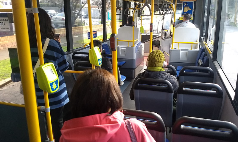
Perhaps surprisingly for a Saturday, more people hopped off to go to Murrumbeena station (or possibly the local shopping centre) than stayed on the bus for Chadstone.

Nearby is this bus shelter. It’s clean, free of graffiti, has good sight lines, and provides reasonable wind/rain protection. Up-to-date advertising shows it is actively maintained, and it’s still signed as a 24/7 bus zone. The only thing it doesn’t have… is buses. The stop moved closer to the station last year.

Under the skyrail there were plenty of people cycling or walking along the shared path, and also some doing exercise. During my time in Murrumbeena (1987-88 and 2003-05) I don’t remember many people walking along the railway line like this, even where the path was provided.
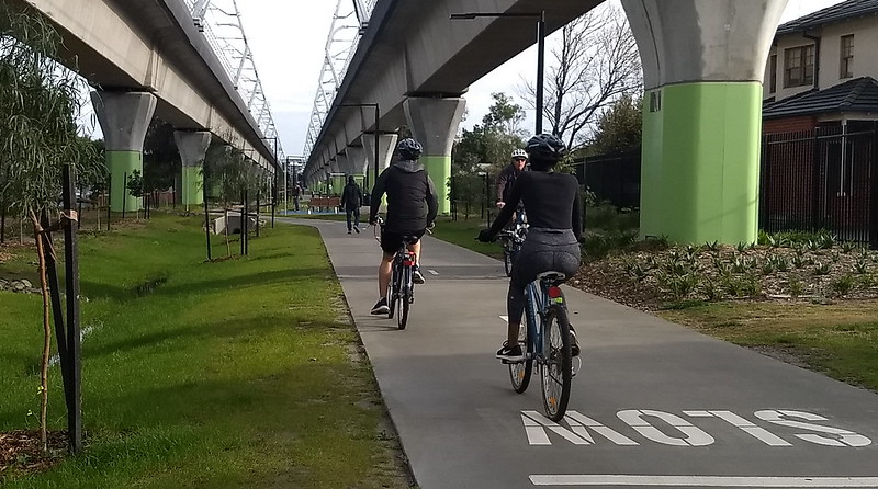
Anecdata like this isn’t data, and beauty is in the eye of the beholder, of course. But to me it looks like a pretty good outcome in terms of usable community space, which wasn’t possible when the line was at ground level, and wouldn’t have been possible with a rail trench.
Of course, one could speculate that the fear campaign forced the authorities to work harder on a good outcome. (It certainly didn’t result in an electoral backlash.)

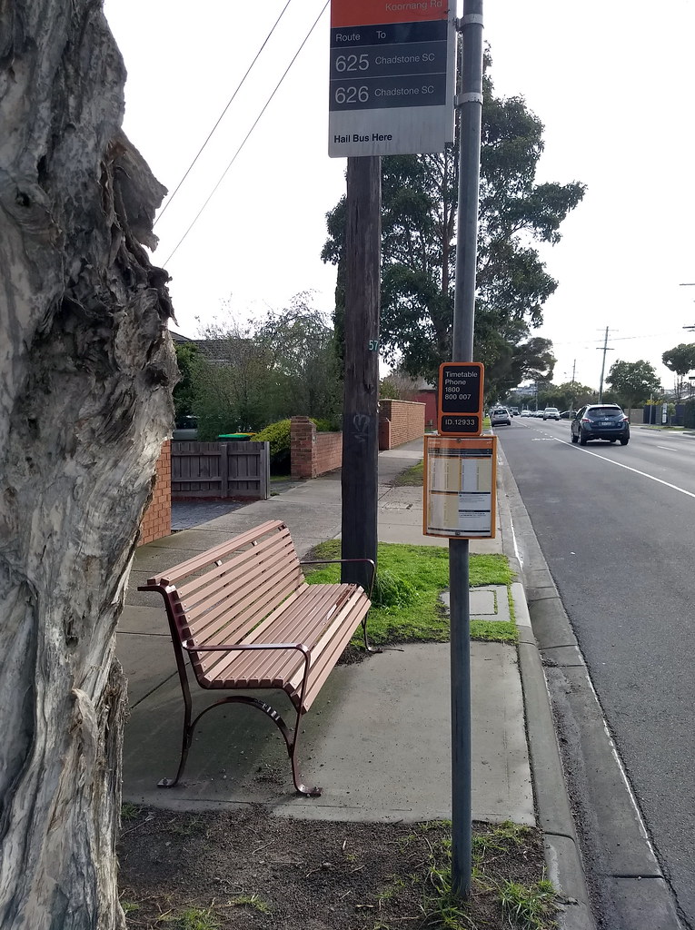
In Carnegie, another bus stop: why would they put the useful information (the timetable) on the side that can’t be seen from the seat/paved area? (The other side has a generic “Catching a bus with Myki is easy” notice.)
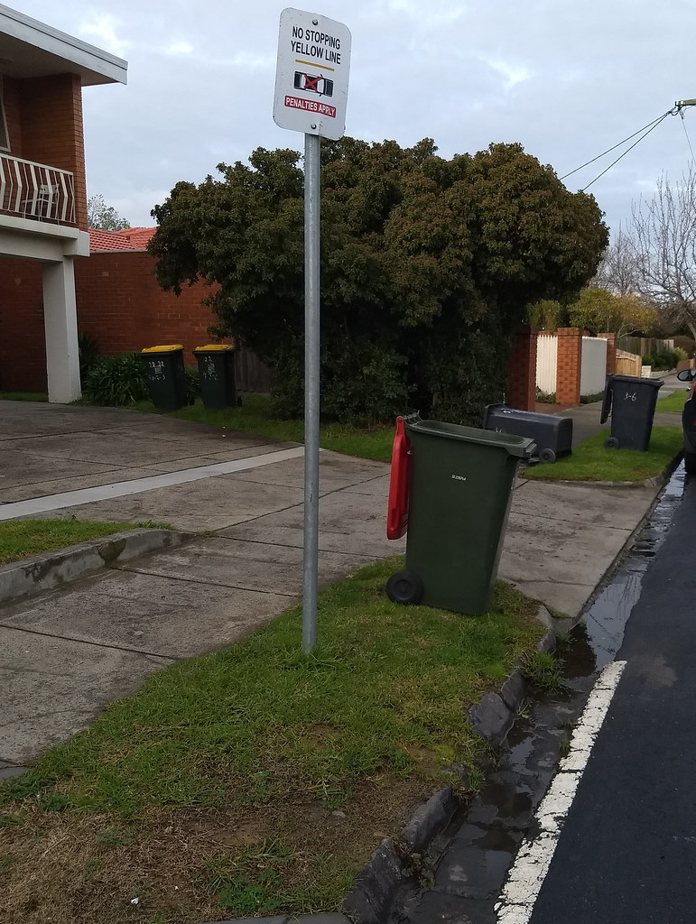
Also in Carnegie, I found this. I know I may be slightly colourblind, but I’m pretty sure this is not a yellow line.
6 replies on “Walking around Carnegie”
To paraphrase Stephen Spender, words like anecdata should not be allowed in blogs! Otherwise you had me in your corner, an interesting read.
Have you seen the bike/walking path at Blackburn, no trees, it’s ugly with an open gaping trench next to it. Very hot in summer and limited opportunities to cross.
That bus stop in Carnegie with the timetable on the wrong side is a clear case of “not my job”. They didn’t question the logic of placing the sign on the wrong side, because they’re not paid to do that.
Is it possible for me to add some of these photos to a flyer I want to send a non political message to locals to highlight the differnces between trench and skyrail
The path is definitely a success. Lots more people then the old small sections of path.
No rail line cutting through the middle of the map made for an enjoyable street orienteering event in the area between Carnegie and Hughesdale a couple of weeks ago.