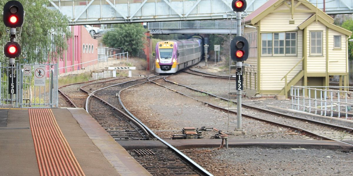
Vicroads and their decades-long plans for road widening
Say what you like about VicRoads, they know how to do forward planning.
For example, there’s a stretch of Ballarat Road in Footscray, just west of where the dual carriageway ends, where this is a common sight:
Lovely, isn’t it. Derelict wasteland, left to rot.
A look at Google’s aerial view reveals quite a few empty properies along the street.
In a classic case of salami tactics, VicRoads has been slowly buying up the properties, perhaps over decades, with a view to eventual widening and duplication of the road.
Looking at some Planning Property Reports for one of the properties, there is indeed a Public Acquisition Overlay for the sections of those properties that face the road.
So, when and if road widening ever happens, then between Gordon and Droop Streets, the old Kinnears rope factory won’t be touched, but a bunch of houses and shops will lose part of their land (and thus face demolition or modification). Further towards Victoria University, it won’t touch the newish apartment block on the southern side, but will take part of the bowling club on the northern side.
West of Gordon Street, it’d be the northern side of the road that gets wiped-out — though it appears that (for now) a heritage overlay protects the rather glorious avenue of trees between Summerhill Road and the next section of dual carriageway.
All this is not to say VicRoads has any immediate plans to widen the road. It could still be decades off. But they have the overlay, and they have some of the land in their possession already. It’s a similar situation in various spots around Melbourne — one well-known one is Punt Road in South Yarra/Prahran, where overlays have been in place for more than half a century. (It’s a reminder to always check for overlays when thinking about buying a property.)
VicRoads owns about 2500 homes across the state. They have been bought over the past five decades for the sole purpose of future road use.
Such road expension projects have taken place before; the widening of the Nepean Highway in Brighton took out scores of houses. St Kilda Road between the junction and Carlisle Street was once High Street, and the old shopfronts still seen on the eastern side once were on the western side as well — that widening removed the historic Junction Hotel. And close to where the above example, Geelong Road was widened in the 1960s, all but obliterating an Avenue of Honour that had been there.
Meanwhile, on RRL
The VicRoads way is symptomatic of the forward planning that goes on — the so-called “bottom drawer” they can whip road plans out of whenever funding is available for something. And while this road expansion never seems to solve traffic congestion (thanks to induced traffic), they seem very efficient at getting it built.
It’s arguable that having a clear plan via an overlay, and slowly buying up the properties — even if empty land is a waste and looks horrible — is better than turning up out of the blue and announcing to people that their homes are going to be bought and demolished.
That’s what’s happened with the Regional Rail Link project.
In contrast to quiet buying up of land for road widening in the distant future, down the other end of Footscray, the RRL project had to acquire and demolish a number of houses and industrial property — and managed to botch the notification to affected people.
And in Sunshine, RRL is shaving away a section of the HV Mackay gardens. The of course there’s the new Footscray station bridge demolition.
Apparently nobody envisaged that the main western railway corridor would ever need to be widened, so the land wasn’t reserved. One can only hope that over time, future planning will improve.
New Footscray station bridge now being partially demolished
This is Footscray railway station’s William Cooper bridge, pictured just after it opened in 2010. It’s almost brand new.
Preparatory work on replacing the old bridge had began in April 2009, with the first bridge spans put into place in around August 2009. It was opened in April 2010, at a cost of $15 million.
Meanwhile, the Regional Rail Link (RRL) project was first publicly mooted in 2006, and recommended as part of the Victorian Transport Plan in 2008. It gained the bulk of its funding (and thus the green light to proceed) from the Federal government in May 2009, with a preliminary route design being announced in June 2009.
But despite the RRL project having been given the go-ahead before the bridge started major construction, apparently nobody on the bridge project team thought to check if the it was long enough to handle the extra tracks and platforms likely to be built as part of RRL…
The bridge is not long enough.
The northern part of the bridge is being demolished, less than two years after it opened, so it can be extended a few extra metres over the new tracks. Harking back to a couple of years ago when the new bridge was built parallel to the remains of the old one, a temporary bridge has been constructed.
Your tax payer dollars at work.
The silver-lining is the upgrade will apparently make some improvements, including escalators and better weather-proofing… it’s unclear why the bridge design didn’t include these in the first place.
Of course in an ideal world, the bridge wouldn’t have been built in that form at all — as part of the wider Footscray $62 million redevelopment programme they should have looked at a Perth-style train/bus interchange which would fix the problem of most of Footscray’s buses terminating several hundred metres away from the station, at a myriad of different bus stops.
- Regional Rail Link: Footscray Railway Station design
- Fair-go for Footscray Rail Residents: Colander bridge
- PTUA Problem of the day 5/6/2011: Footscray’s brand new bridge won’t fit the new platforms
- 2/7/2012: Regional Rail Link update: Olympic Doughnuts to stay at Footscray station
Update Monday: It’s been pointed out to me that once construction starts it’s hard to stop and change the design, and that the RRL design for Footscray station may not have been known before about October 2009 (which is certainly when I first heard it would be extra platforms on the northern side). Fair enough.
But I still think the point here is that as soon as RRL got funded/underway (in May), someone should have flagged the issue with the bridge project team immediately, and construction halted until it was known where the extra platforms would go, and whether the bridge needed to be modified.
Regional Rail Link update: Olympic Doughnuts to stay at Footscray station
A couple of years ago when they were announcing some of the detail around the Regional Rail Link project upgrades to Footscray station, I jokingly remarked on Twitter that I hoped the doughnut van would survive. I was then assured by someone in the then-minister’s office that it would.
The government may have changed, but the commitment to let the doughnut van stay hasn’t:

However, along with many businesses along Irving Street, the cafe formerly known as Tall Poppies (on Nicholson Street) has not survived. This was a known gunzel hangout, due to its view over the railway lines coming out of Footscray, including the Bunbury Street tunnel. I assume it’s been sacrificed due to the widening of the underpass to fit the extra tracks in.

Regional Rail Link works continue
There’s a good view from North Melbourne station of the works on the new Regional Rail Link line that will come in from Sunshine and the western suburbs, bypassing North Melbourne (unfortunately, with no interchange platforms) into Southern Cross. The idea is that V/Line trains will be able to bypass the suburban tracks, allowing both more V/Line and Metro trains to run.
Nearby at Southern Cross, the new platforms are looking increasingly close to complete, though the track is still missing.
Note the glass wall. When Southern Cross was built/renovated last decade, they did include provision for the extra platforms 15+16, which is why these have taken shape so quickly. But the glass wall on the western side of the station will actually sit between these platforms.
So platform 15 will be inside, and platform 16… well, that could be a little chilly and wet on cold rainy days.
There are still questions about the overall project. There’s still little or no public information on an operating plan of any kind — which should be a prerequisite before you start building.
That is, you should work out what train services you want to run, then build the infrastructure to allow it. We still don’t know if the V/Line trains originating in Geelong will stop at the new stations in Wyndham Vale and Tarneit. We don’t know if passengers at Deer Park and Ardeer will get any extra trains stopping. We don’t know if Geelong trains will take longer on their trip, coming into Melbourne the long way around, even if the tracks they use are faster.
It seems the project wasn’t planned that carefully — despite being one of the most expensive infrastructure projects ever undertaken in Australia.
Victorian transport department secretary Jim Betts said at a conference last week that the $5 billion Regional Rail Link, which has blown out by $1 billion, was budgeted for haphazardly. ”The budget for that project was basically haggled over between the state and the Commonwealth one weekend and we end up with a number written on the back of an envelope,” he said. It was reported in the Australian Financial Review.
Hopefully that planning is going on behind the scenes. Alas, if it is, like much of the planning of our public transport network, how they’re intending to spend taxpayers’ money is being kept secret from taxpayers.
RRL: We must build more rail lines. This is a rail line, therefore we must build it.
Regional Rail Link is a $5ish billion project to separate out V/Line trains, by running the Geelong line via new stations at Wyndham Vale and Tarneit to Deer Park, then into the City (along with Ballarat and Bendigo line trains) on dedicated tracks. Yesterday it was confirmed that it would go ahead.
The idea of separating fast, limited stops V/Line trains from slower stopping Metro trains is a good one, of course.
But there seem to be a lot of people thinking that this combined with the new stations in growing areas automatically means the whole project must be a good idea.
Problem is there are a number of big questions about it that remain unanswered:
What service will the new stations at Wyndham Vale and Tarneit get? Will it be the kind of appalling V/Line suburban service already seen at places like Deer Park, Ardeer and Rockbank, where outside peak hour there’s a train only about every two hours? (Indeed, will Deer Park and others see any better service from this?)
Will the peak hour service to those new stations be adequate for the expected commuter population?
Will Geelong trains double as suburban trains to those new stations, and if so will they cope? (Are we setting up to repeat the problems seen now on the Sunbury line?)
Will residents along the line only be able to use the new stations if they are lucky enough to live within walking/cycling distance or get up at the crack of dawn to get a car spot? Or will good quality connecting buses be provided?
How much longer will Geelong trains take to get to the city once they detour via Tarneit? (It’s theoretically possible to build the line so the expresses move through at 160 kmh, but it’s not been stated that it will be the case.)
What will Geelong to Werribee passengers (apparently several hundred per day make the trip) do once their trains are diverted away from Werribee? Maybe (if they can) they’ll just get in their cars and join the traffic.
Will V/Line trains still stop at North Melbourne so passengers can continue to use the 401 University shuttle, or change to the City Loop? (They can change to the City Loop in the morning at Southern Cross, but with current loop patterns, the only afternoon choice without interchange at North Melbourne is going to Footscray, which includes catching a train on the most crowded line in Melbourne, the Sydenham/Sunbury line).
Will there be problems with V/Line trains and Metro trains on the Bendigo line on the 15 kilometres between Sunbury and Sunshine, where they will still share tracks? (Ditto between Wyndham Vale and Sunshine, if it’s a mix of express and stopping trains. And the project won’t touch Seymour/Shepparton trains between North Melbourne and Craigieburn.)
And finally, given the huge cost, were other projects considered, such as extra tracks on the Werribee and Sydenham lines, and Smartbuses or bus ways into the Tarneit area from nearby stations?
Maybe someone’s looked at all these issues, but nothing’s been announced. Despite the multi-billion bill being presented to taxpayers, there’s no transparency.
Good public transport planning should dictate that you first work out what services you want, then you work out the infrastructure needed to provide them. Given continual responses of “we don’t know” when basic questions have been asked about, say, what the line’s timetables will look like, it appears the planning for this is going backwards — and still hasn’t been completed.
While it’s clear there will be some good benefits from the project, it’s less clear that it’s the best option available, or that it’s good value for money.
- Some of the questions above were answered (indirectly) in 2012


