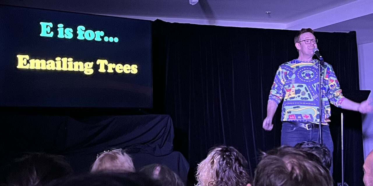
This Comedy Festival show is very funny. Go see it.
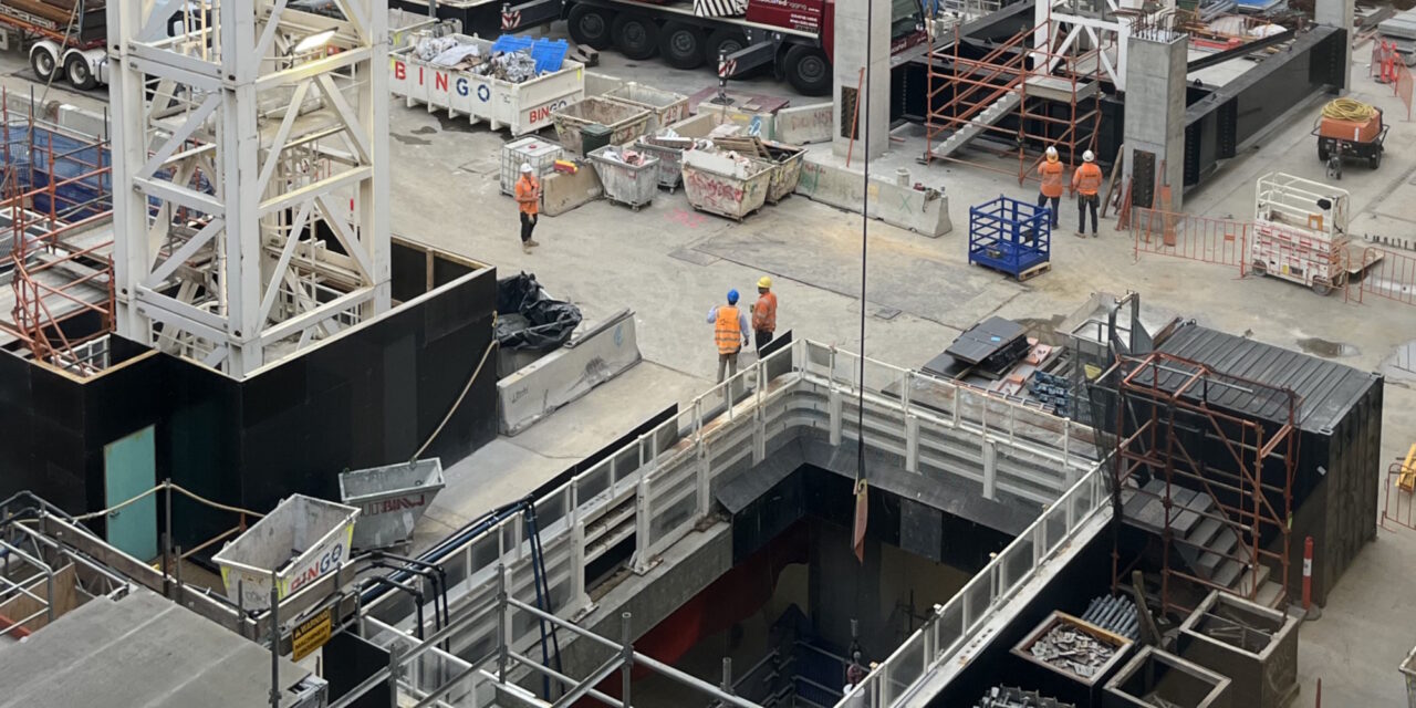
Melbourne stuff
This Comedy Festival show is very funny. Go see it.
Very busy at the moment, not much time for blogging. This is an unfamiliar angle very nearby to a spot that many people in Melbourne might know. Can you guess where it is? If I zoom out a bit (same angle, different photo/day), you might be able to spot a clue in the top right. ... [More]
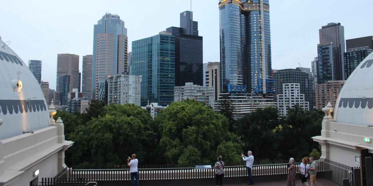
Some pics from a tour of the Exhibition Building a few weeks ago. You start off on the ground floor, with the guide giving a brief history. It was interesting to see the building empty – I’d previously been here when it was busy – for exhibitions or to get a COVID vaccine. Here’s a ... [More]
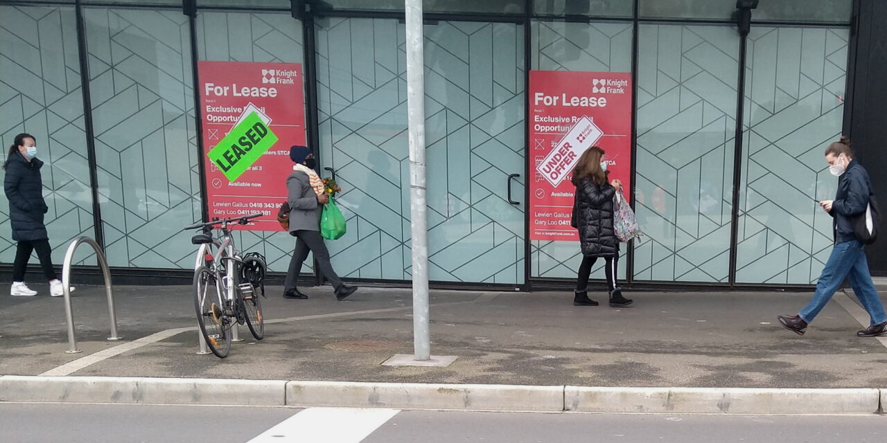
At long last the shops built as part of the new Bentleigh station (my local) have been leased. Somewhat to my surprise, in the middle of an economy-busting pandemic, they’re being fitted out now. One of them will be a medical centre. Following a conversation on Twitter about it, I was curious to see if ... [More]
Last week’s horrific Eastern Freeway crash, which killed four police officers, shocked all of us – even before we knew about the alleged execrable deeds of the Porsche driver. In tribute, flags have been flown at half-mast, and around Melbourne, many people placed blue ribbons on their front gates and fences. And a number of ... [More]
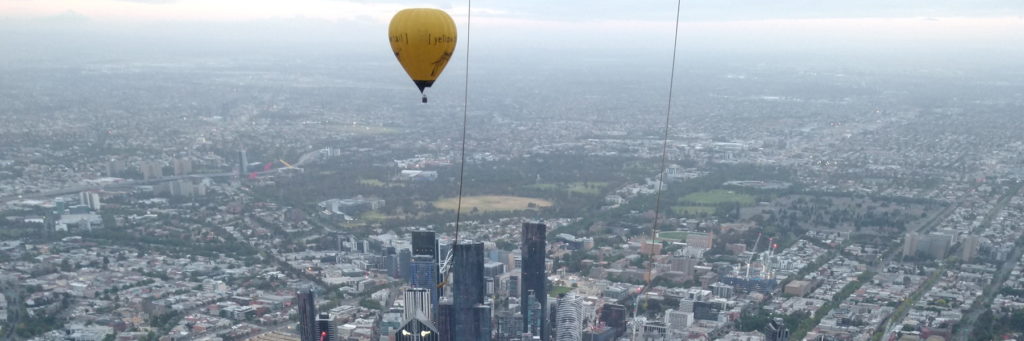
3:30am alarm. 3:40am shower. 4:00am Left the house for a 4:30am rendezvous. By 4:45 we were in a minibus headed for our embarkation point. Time for a Sunday morning balloon flight – a Christmas present from last year from M. Hot air balloons are very much at the mercy of the weather. Our flight had ... [More]
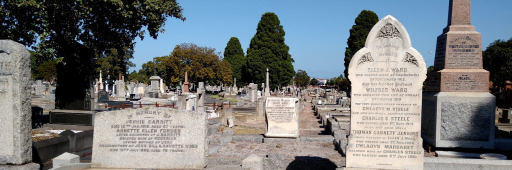
I was in Brighton Cemetery on Saturday (long story) and noticed this statue from a distance, so thought I’d have a look. Someone famous? Not really. A young man, tragically drowned off Mornington. The statue was made by his workmates. Thanks to Trove, I found quite a detailed report of the accident. FISHING BOAT OVERTURNS.YOUNG ... [More]
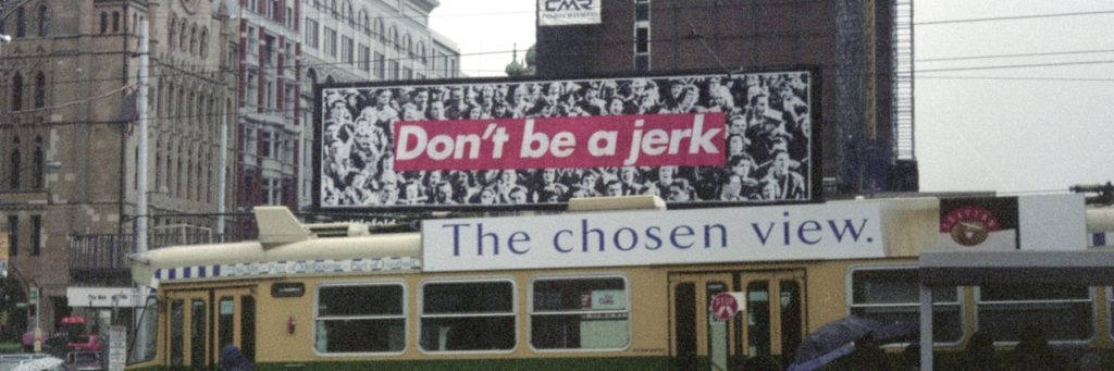
I was looking through some old photos, and found these from November 1996. I’ve scanned them from the negatives. As you can see, they provide some good advice… (Click on either photo to view it larger in Flickr) Things to note here: “Don’t be a jerk” is a work by Barbara Kruger, originally from 1984 ... [More]
On Monday I had an errands at Pinewood. Pinewood? Yes, the minor shopping centre somewhere on Blackburn Road between Clayton and Mount Waverley. I caught the bus up there — the 703 runs from near home in Bentleigh, via Monash Uni, then up Blackburn Road. Unsurprisingly perhaps, we had to wait at the Clayton level ... [More]
I’m not sure if it’s new, but I noticed the other day that the old Brinsmead’s Pharmacy in Ripponlea now has a plaque marking its significance. When I was a kid, this was still a chemist. Its survival as a chemist for so long, over sixty years, probably helped the original features stay intact. Nowadays ... [More]
This coming Saturday the new Bentleigh, McKinnon and Ormond stations are hosting a “family fun day” featuring a steam train. Should be… well, fun. Edit: Here’s the steam train timetable: (Hopefully they’ve checked if steam trains are okay climbing the higher-than-usual 2.5% (ish) gradient heading north out of Ormond station! I’d assume so, given the ... [More]
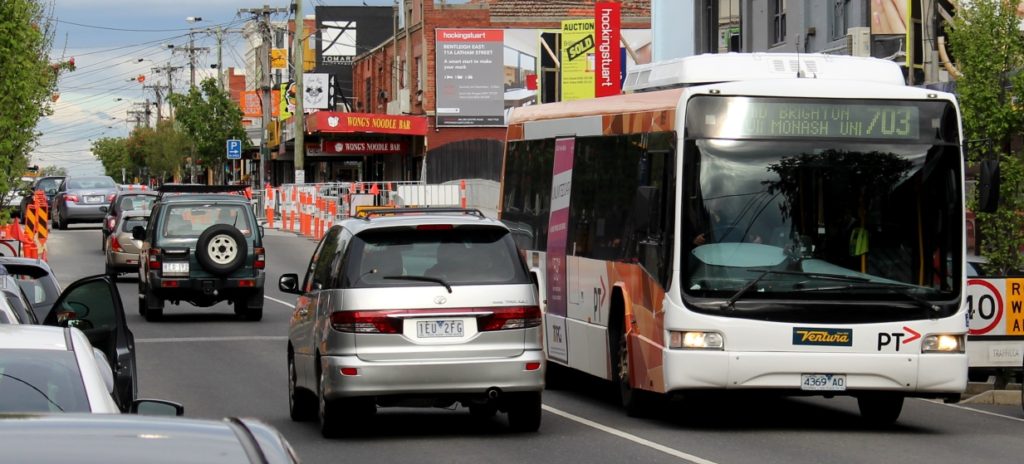
Apologies for this very much locally focused (and possibly over-long) blog post: The main bus route through Bentleigh (both the suburb and the highly marginal state seat), the east-west 703 along Centre Road, is getting a slight upgrade. It doesn’t seem to have been announced yet, but eagle-eyed timetable watcher Craig Halsall spotted it: on ... [More]